This is part two of my look back at a roadtrip last summer. In part one, I visited Black Canyon of the Gunnison, Mesa Verde, the Valley of the Gods, and more.
Day 4: Arches and Canyonlands, part 1
I’d set up camp at Buckboard Campground in the Manti-La Sal National Forest near Monticello, Utah, to be in the region of Arches and Canyonlands, which were both booked up by the time my vacation dates became clear.
I was in such a hurry to get to Arches that I neglected to stop for ice to cool my drinks. This would be a problem later. But after numerous media reports about Arches reaching capacity daily, I was in a rush to get there as early as I could. It turned out my fears are unfounded: there was no line and the attendant explained that things had slowed down due to the August heat. This would also be a problem later.
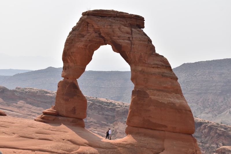
I immediately headed for Delicate Arch, the site that’s so popular it’s on Utah’s license plates. I knew the hike will be strenuous, so I brought plenty of water and made numerous stops on my way up the hill. The hundreds of other people on the hike were also doing the same thing except for a duo of young runners who decided to show us all how it’s done.
But it wasn’t the hill or the heat that was my problem, it was the muffin I ate for breakfast while driving. So after a few snapshots, it was a quick beeline back down the hill to the restroom.
By now it was already 100 degrees again. Turns out those people who stayed away due to the heat might have been on to something. I was already exhausted and tired, wondering if I should try to make the long drive back to my campsite in the cool mountains for a nap.
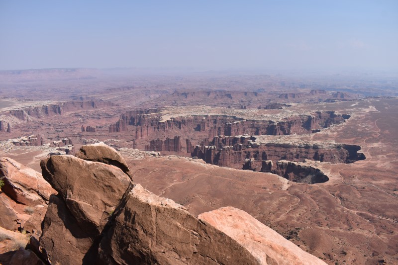
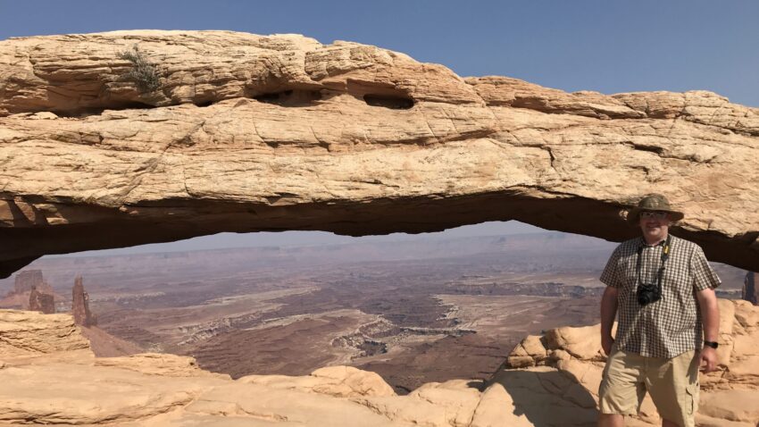
Fortunately, some cool drinks and caffeine in nearby Moab give me an energy burst, so after visiting a few more Arches overlooks, I headed to Canyonlands’ Island in the Sky unit. The long drive into the park is worth it to see the outstanding overlooks and take the quick hike to Mesa Arch.
Day 5: More Arches and Canyonlands
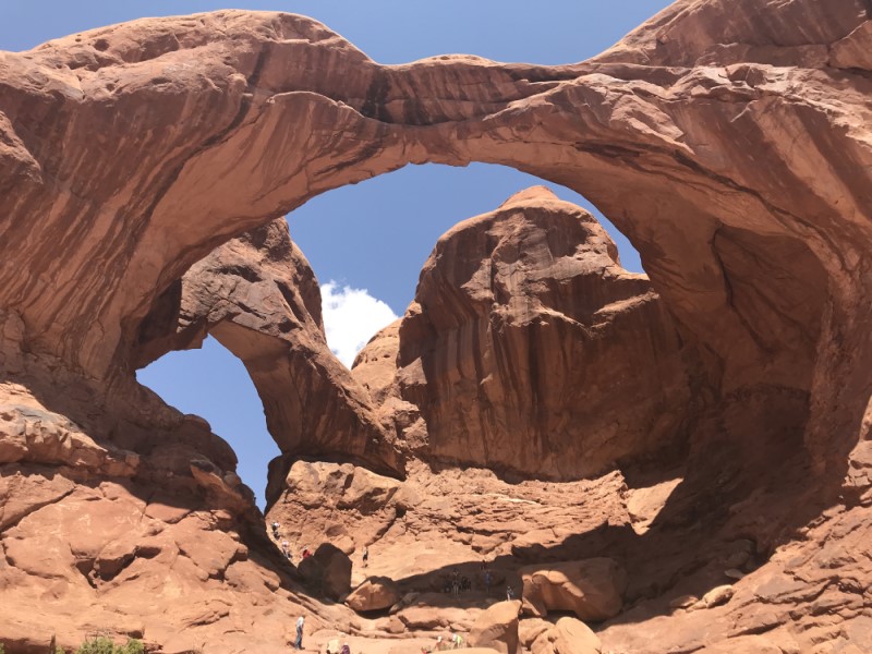
Having left Arches in such a hurry, I headed back for more. This time, I took an easier hike to several arches, including Landscape Arch. But it was so hot my camera stopped reading the memory card by the third arch! I decided that was a sign to spend more time in the AC, and fortunately the leisurely scenic drive takes visitors to many excellent overlooks. One is Double Arch, which in my mind is much more stunning than Delicate Arch and doesn’t require the strenuous hike.
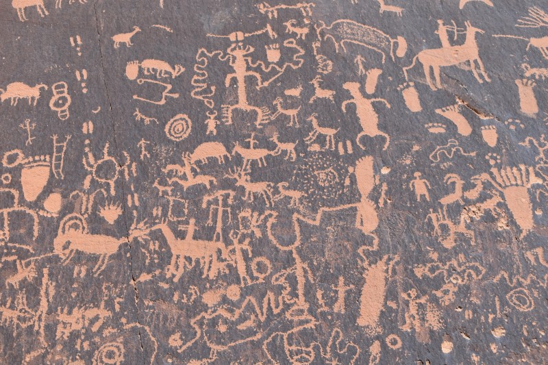
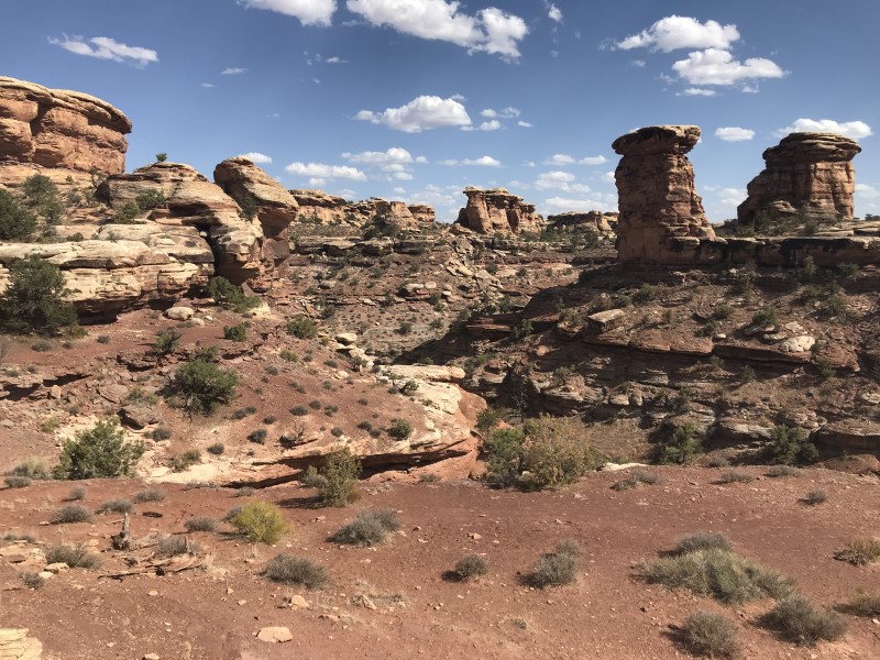
Next, I headed south to another part of Canyonlands, the Needles area. The long drive into this section of the park goes right past Newspaper Rock, a stunning collection of petroglyphs so huge you can actually see it from the highway. The road into the park is almost as impressive as the park itself, with numerous cliffs and canyons. Contrasting with the crowds at Arches, there was almost no one around in this part of Canyonlands, and warning signs about recent mountain lion sightings deterred me from setting out on a hike. That wasn’t too disappointing because I was longing to get back to my campsite to cool off and rest before the next day’s adventure.
At the campsite in the mountains, I used a software-defined radio program to capture the regional FM dial. When I reviewed the recording after getting home, I found stations from all four states in the region including many small community radio stations. Here’s one announcer on KOTO Telluride:
Day 6: Grand Canyon
It’s time to head south, travelling again past the Valley of the Gods on my way into Arizona. There were no tours of Monument Valley due to COVID, but the highway still offered excellent views in the hazy conditions caused by distant wildfires.
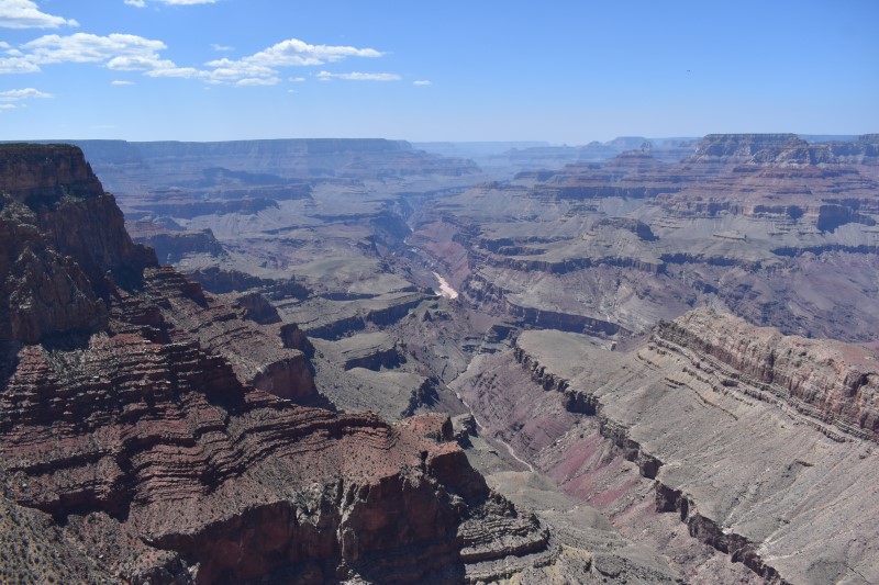
Reaching the Grand Canyon’s South Rim, I was surprised to find that the parking lot at Desert View Watchtower (the easternmost stopping point) was less than half full. After several more overlook stops, I set up camp at Mather Campground before heading out to see more sites. (I had been surprised how easy it was to reserve a site only a few weeks in advance.) But the reports of crowded parks turned out to be true: there were so many people gathered at Yavapai Point to see the sunset that I had to strain to snap a picture without someone getting in the way!
Day 7: Grand Canyon, Vermillion Cliffs, and Zion
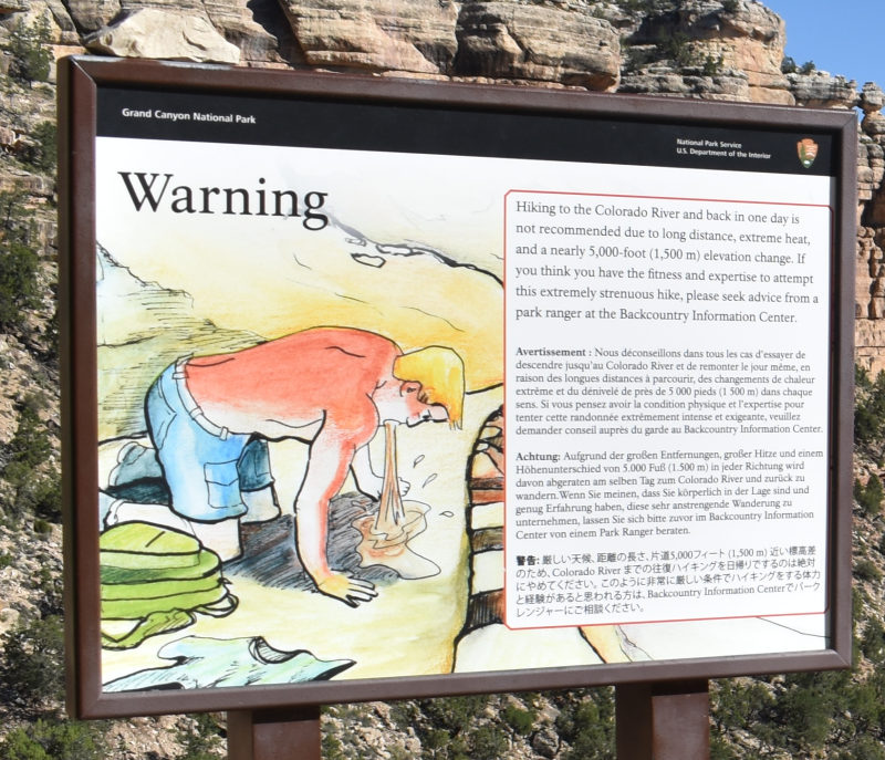
After getting my first shower in several days (note: the Mather Campground showers are only open in the morning), I set out on a careful hike down the beginning of the iconic Bright Angel Trail. And by that I mean the very beginning of the trail. It goes all the way down into the canyon, but a graphic sign warns hikers about the risks of overdoing it, and I know my limits. I leisurely hiked down three-quarters of a mile and then turned around for a strenuous but breathtaking hike back up to the rim. At the top, the paved pathway along the rim took me to Kolb Studio (a museum about photographer/adventurers who lived there) and Hopi House (a Native art gallery built in an authentic style).
While I was enjoying the Grand Canyon, there was breaking news back home. The WQRM transmitter site in Duluth had caught fire. I cranked out a news brief on my phone and continued on my journey.
I headed back east along the south rim to enjoy several more overlooks on my way out of the park. Heading north, I unexpectedly found myself driving past the Historic Navajo Bridge and alongside Vermillion Cliffs National Monument. A lack of trip research can bring surprises!
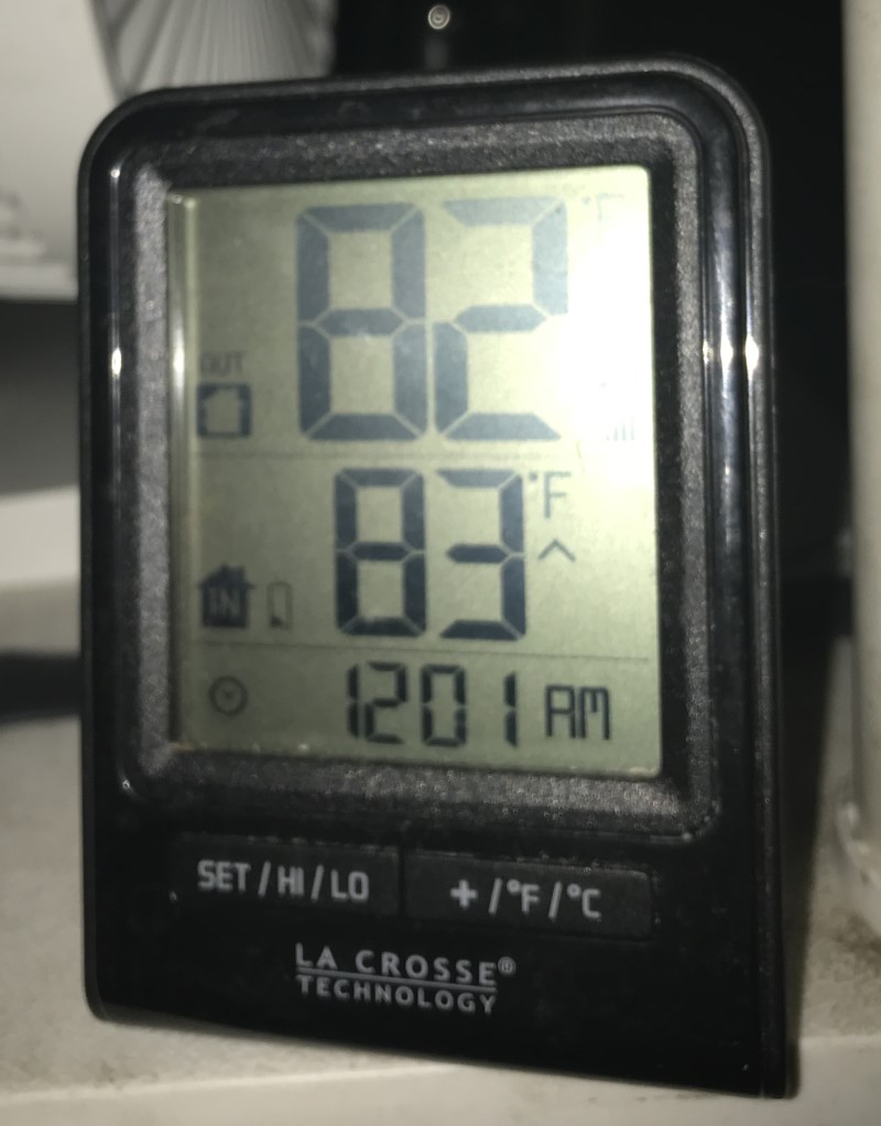
Arriving at Zion National Park’s East Entrance, the stunning Zion-Mount Carmel Highway brought me through the park’s impressive tunnel and to my campsite before dark. The view from my site was great but once the sun set, the temperature didn’t drop below 80. That’s not good sleeping weather for a guy who grew up in northern winters, foreshadowing an unexpected change to my travel plans the next day.
Next week: Taking a vacation from my vacation, and a landslide forces changes to my itinerary
LINK: More Off Topic columns

